The best ways to travel around in Houston, Texas

Jul 10, 2025 • 5 min read

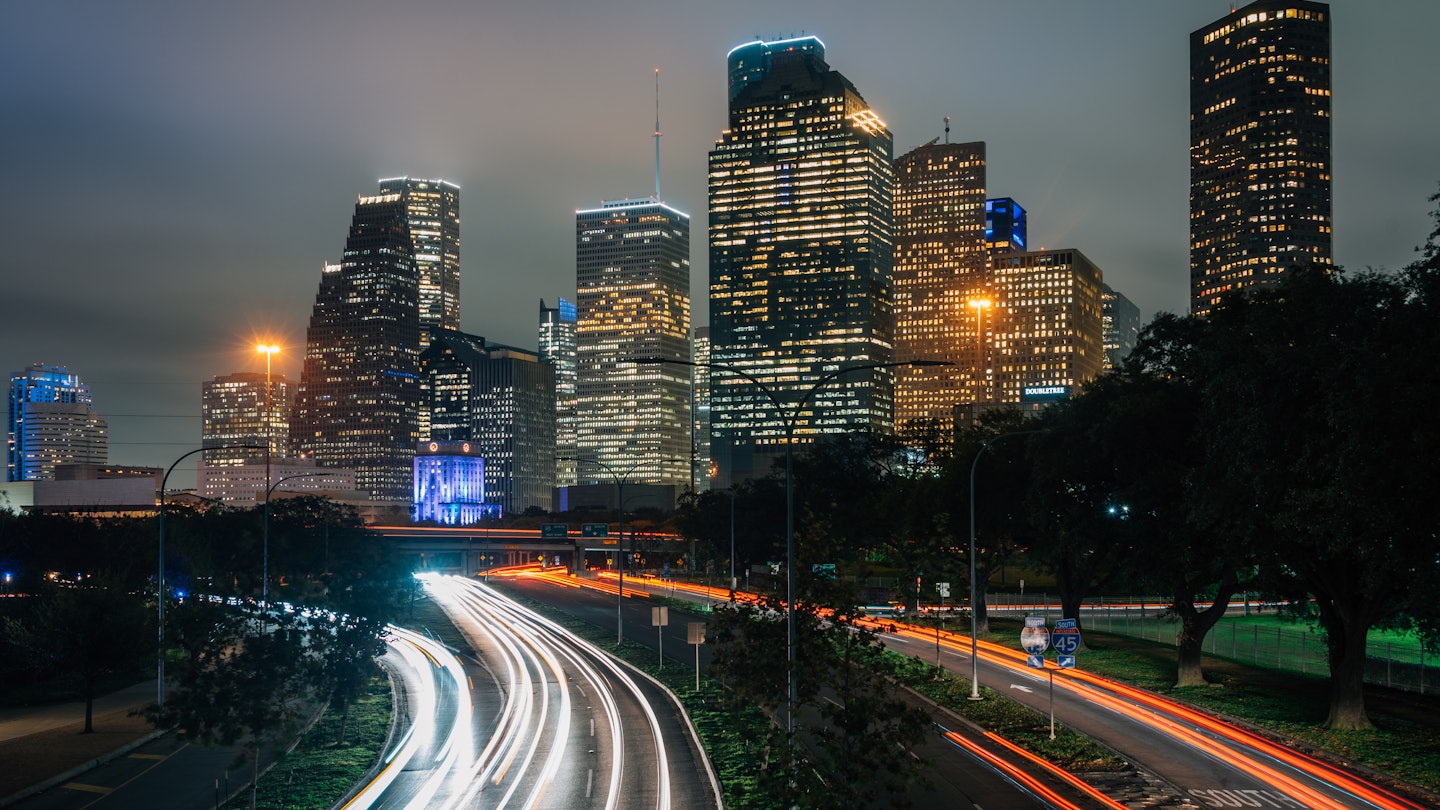
Traffic on Houston's Allen Parkway. Jon Bilous/Shutterstock
When considering transportation options in Houston, answer this question: are you traveling inside or outside the Loop? “The Loop” is the nickname for Interstate 610, a 42-mile circular highway that acts as the border for inner-city Houston. If you’re traveling within the Loop, public transportation is easier to access, and several neighborhoods are walkable. Outside the Loop, your best options are self-driving or using rideshares.
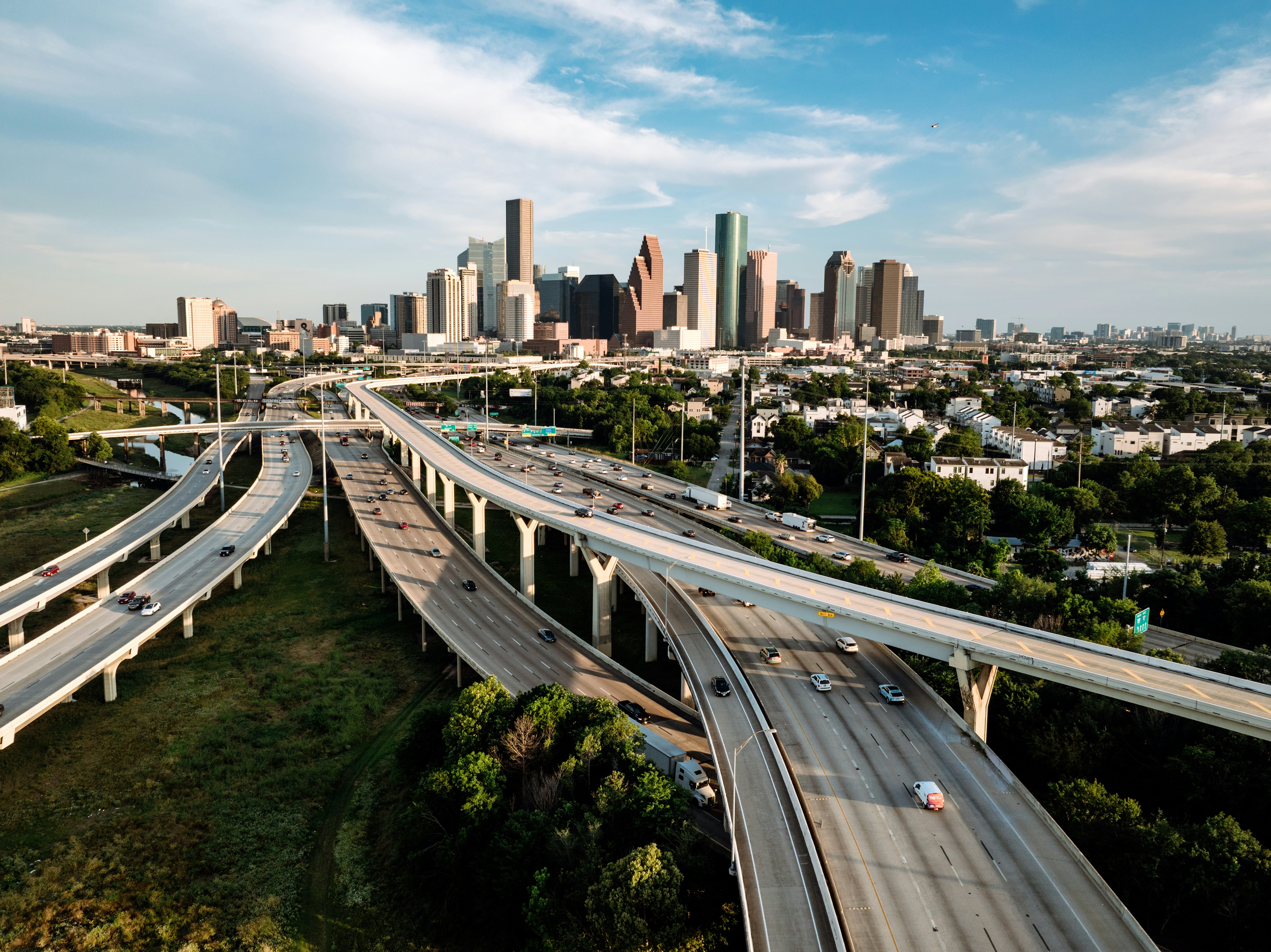
Houston covers 665 sq miles, and the Greater Houston Area spans 9444 sq miles. The city is notoriously car-centric. Even inside the Loop, public transportation options can be difficult to use and somewhat limited. Trains stop running before bars close, the city’s bikeshare program was disbanded in 2024 and buses can be unreliable, which is why many Houstonians will advise you to get a car, regardless of where you travel. However, alternative transportation options can be worth exploring in certain circumstances. Here's what you need to know to plan your transit.

Driving your own car is the most flexible and reliable mode of transportation in Houston
Car rentals are widely available to drivers aged 18 and older. (Those under 25 generally have to pay a surcharge, but if you have a AAA membership and use a discount code, some companies will waive the fee.) Texas requires all car rental companies to provide minimum liability insurance coverage, but it’s highly recommended to purchase additional comprehensive or collision insurance. You must have a valid driver’s license to rent.
Rush hour runs from 7am to 9am and 4pm to 7pm Monday to Friday, so it's best to avoid the roads during those times. If you have to travel and have at least one other person with you, use the HOV (High Occupancy Vehicle) lanes to go inside or outside the Loop. Entrances can be somewhat difficult to find, so it’s worth familiarizing yourself with the system prior to driving. Interstate 45, Hwy 59 and Hwy 290 all have HOV lanes. The flow of traffic in these single lanes changes direction at different times, going towards Downtown in the morning and away from it in the afternoon.
Houston has over 20 major highways spanning 4000 miles of road. While a highway’s signage might list one name, roads often have double names or nicknames that locals use more. Important roads include Interstate 10 (with the westbound section known as the Katy Freeway), Beltway 8 (the Sam Houston Tollway), US 59 North (Eastex Freeway), US 59 South (Southwest Freeway), Interstate 45 South (Gulf Freeway), Interstate 45 going through Downtown (Pierce Elevated), and Hwy 99 (the Grand Parkway). Interstate 610 will be referred to as the North, South, East or West Loop, depending on which direction you’re going.
Rideshares are better than taxis
Uber, Lyft and Alto are readily available, and usually easier to find and use than taxis. For taxis, trips in Downtown are billed at a $6 flat rate. Several taxi companies service Houston, including: Lonestar, Fiesta and Yellow Cab Houston. To book one via an app, download Curb.

Check real-time info and be prepared for delays on the bus
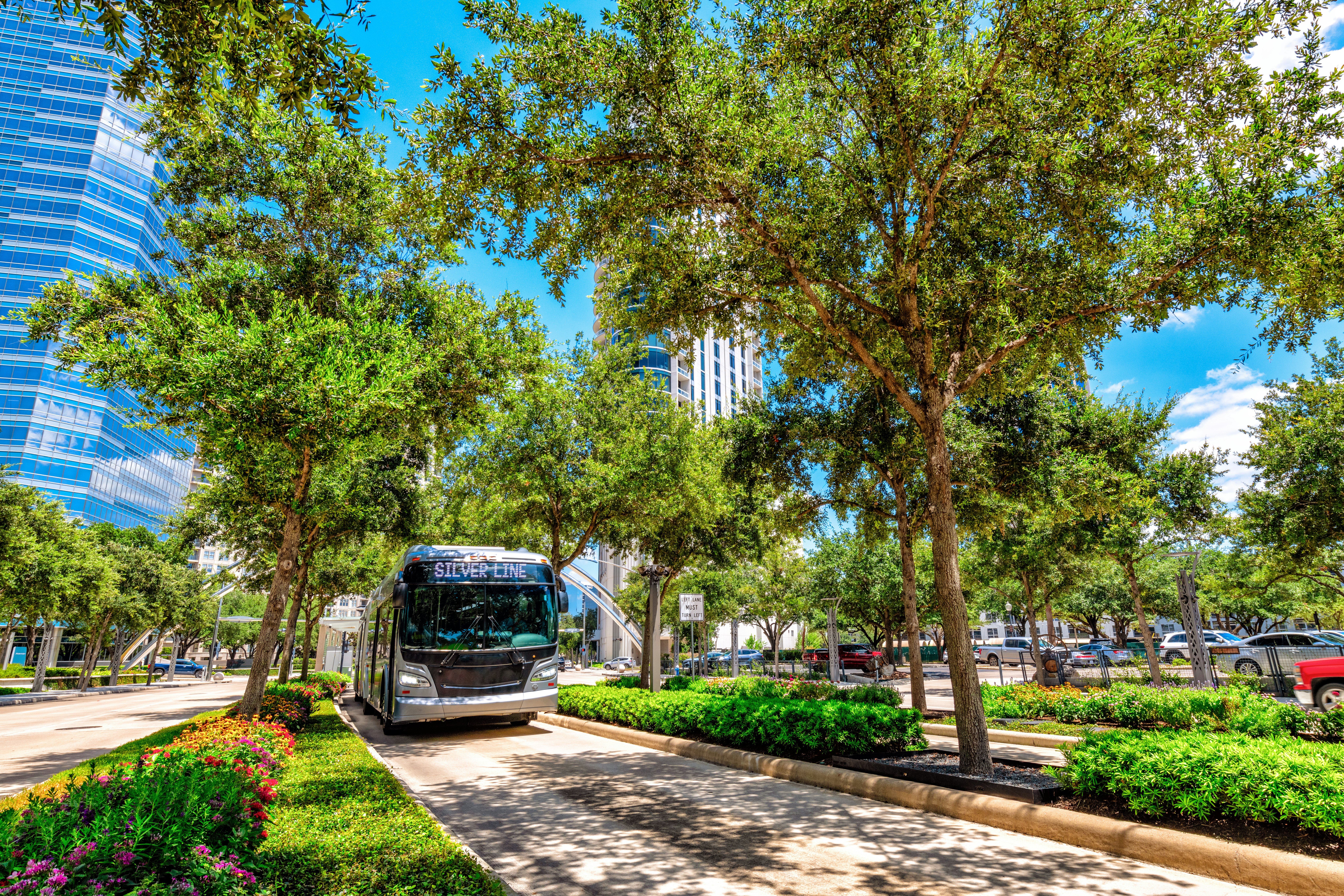
Houston has over 80 METRO Bus routes. While buses are Houston’s most popular form of public transit, they are known to run behind schedule. Check real-time updates using Google Maps, Moovit, the RideMETRO app or by texting your bus stop number to 697433 to receive arrival info.
Buses run from slightly before 5am until slightly after midnight, with frequency ranging from every 15 minutes to an hour. Stations and routes can be found using METRO’s interactive map.
Take the train if traveling to Downtown from within the Loop
METRORail is Houston’s 22-mile-long, three-line light rail that connects Downtown with Midtown, the Museum district, the Medical Center and NRG Park. The Red Line begins running the earliest at 3:29am, and the Purple Line runs the latest, with service stopping just after 1am. Trains run every 6 to 18 minutes. The train can be a convenient way to travel during the day, especially if heading from Downtown to the Medical Center.
The METRO Q app is the most efficient way to pay for public transit
You can pay for public transit with cash, but you will not receive change or a receipt, meaning if you transfer, you will have to pay the full fare again. Making payment using the METRO Q mobile ticketing app is the more cost-effective option.
Download the app on your phone and use it to purchase a single fare or day pass. The METRORail and Bus fare is $1.25 and includes free transfers for up to three hours (for fares of equal or lesser value) for any combination of bus or train rides when paid via the app. Children five and under ride free when accompanied by an adult. Fare inspectors check your phone either on the platform or during the ride. Physical Metro Q Cards and Metro Day Passes can be purchased at Metro RideStores, grocery stores or through the online Metro Ridestore.

Cycle or walk the bayou trails
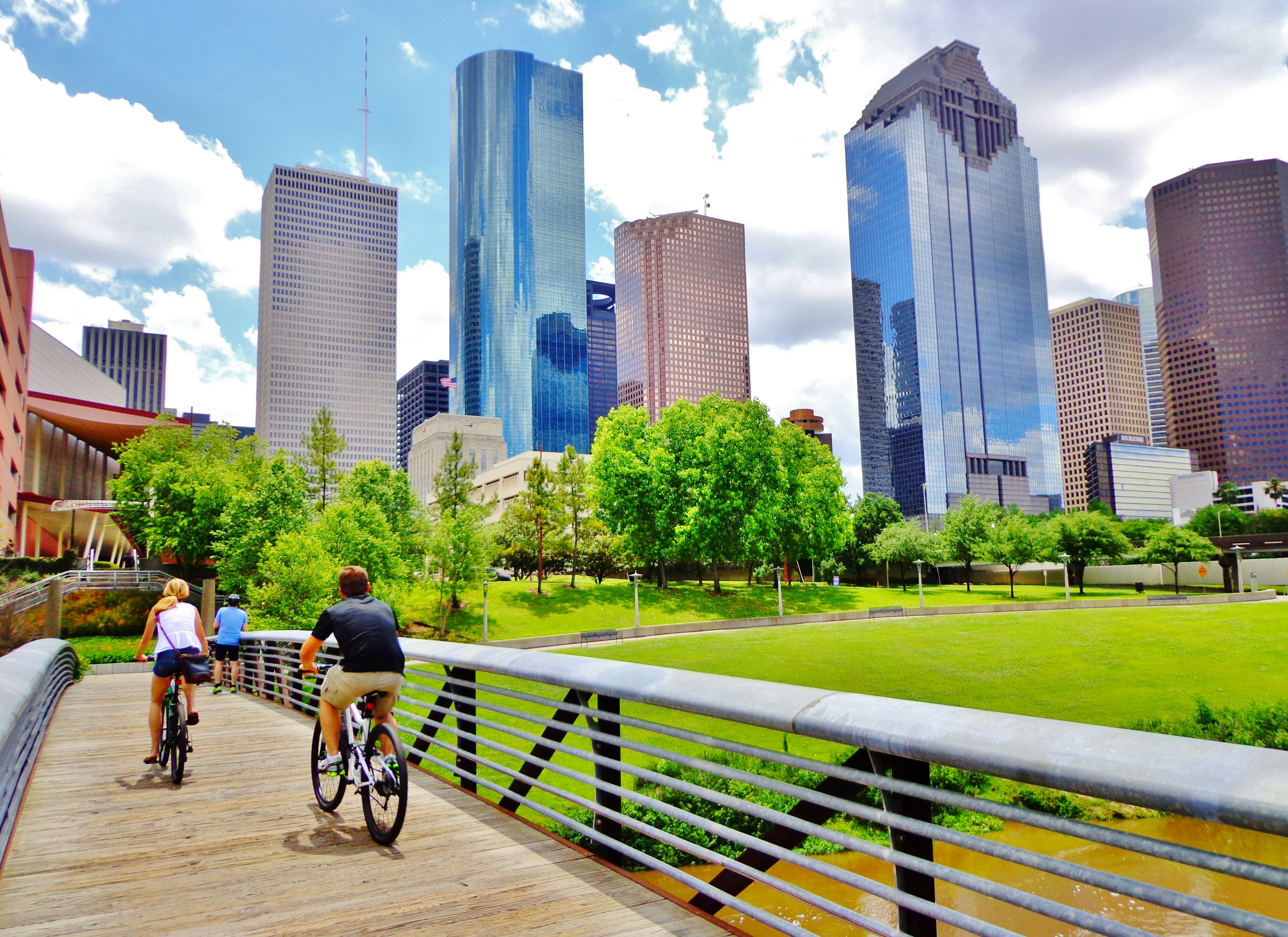
Several neighborhoods within the Loop are somewhat walkable and cyclable, such as Montrose, the Greater Heights, Midtown, the Museum District, Greenway and West University.
Houston doesn’t have a bikeshare program, but you can rent bikes from Eado Bike Company and Bayou Bike Rentals. Dedicated bike paths exist along the bayous, like the Heights Hike and Bike Trail and the Buffalo Bayou Trail. A bike improvement plan is set to be finished by 2027, providing cyclists with 1800 miles of “high comfort” lanes, meaning they are barrier-protected or have shared lane markings (sharrows). For safety, do not bike during rush hour unless you stick to the bayou trails. When biking in Houston, always drive defensively.
Accessible transportation in Houston
Houston’s city buses and trains are all ADA accessible, as are train platforms. Houston METRO also has a paratransit program for curb-to-curb service, which can be scheduled online or via phone. Both Lyft and Uber offer wheelchair-accessible vehicles in Houston.


